Overview
Trincomalee in one paragraph
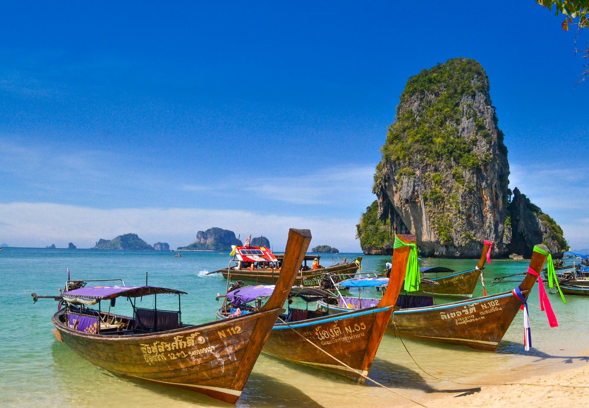
Trincomalee sits on the dry east coast, which means its season is the mirror image of the south: while Galle is under monsoon, Trinco is flat and clear. The town has a Hindu temple on a cliff above the harbour, a Dutch fort with deer wandering inside it, and beaches at Nilaveli and Uppuveli that are wide, empty and shallow. Pigeon Island, twenty minutes offshore, has live coral, blacktip reef sharks and green turtles in water you can stand up in.
Top attractions
What to see
- Pigeon Island National Park
- Nilaveli and Uppuveli beaches
- Koneswaram Temple on Swami Rock
- Fort Frederick and the deer park
- Kanniya hot springs
- Marble Beach
Things to do
How we would spend a day here
- Snorkel or dive Pigeon Island, go at 8am before the boats fill
- Whale watch from Trincomalee between May and September
- Watch sunrise from Swami Rock at Koneswaram
- Take a fishing boat out with a local crew
- Dive the wreck of HMS Hermes for certified divers
Best time to visit
May to September, when the rest of the island is in monsoon. Avoid November to January.
Nearby
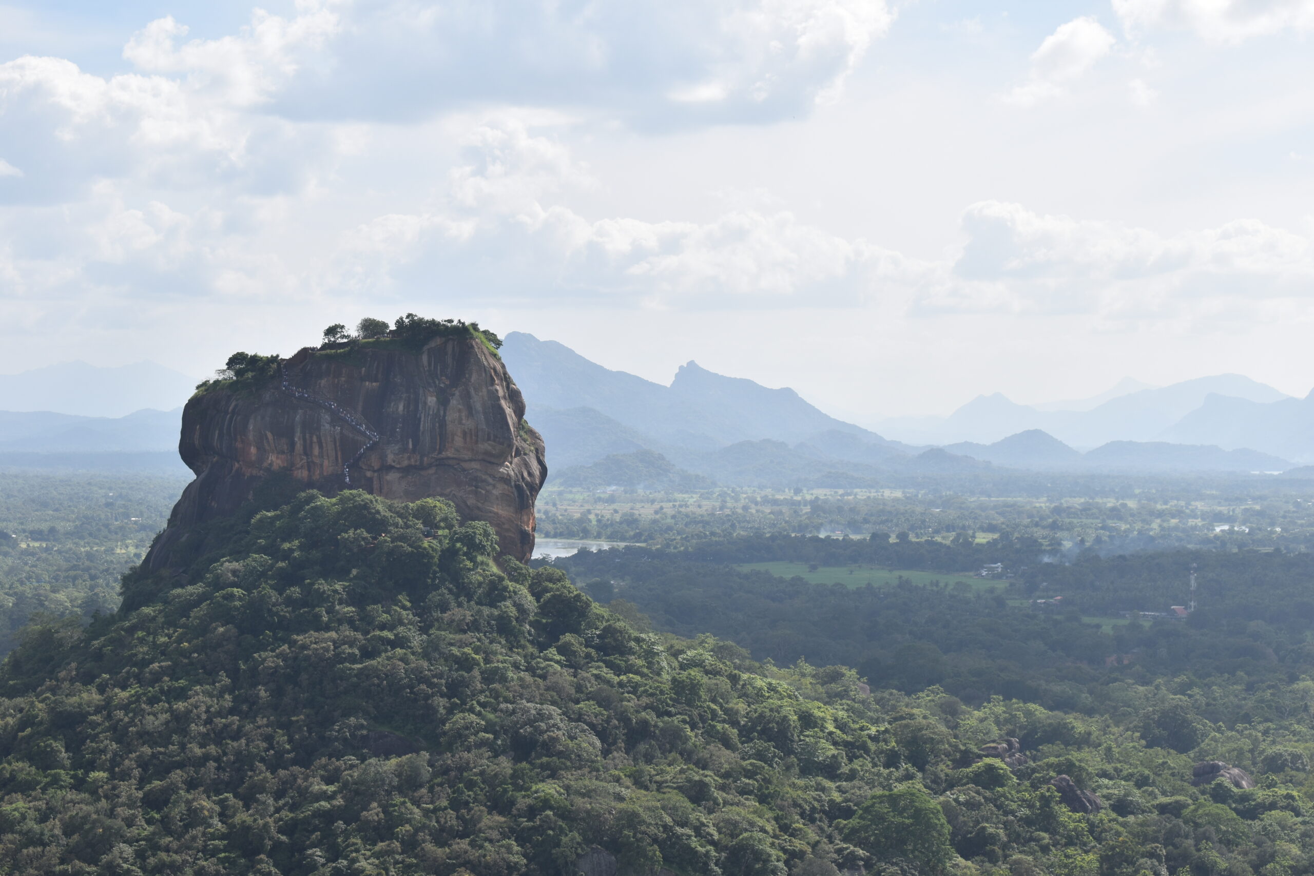
- Sigiriya, 2 hours 30
- Polonnaruwa, 2 hours
- Anuradhapura, 3 hours
- Pasikuda, 2 hours
Gallery
FAQ
Trincomalee — your questions
When should we visit the east coast?
May to September. The southwest monsoon brings rain to Colombo and Galle while Trincomalee stays dry and the sea flattens out.
Is Pigeon Island crowded?
It can be by 10am. Go on the first boat at 8, and ask your guide to request the northern reef rather than the main swimming area.
Can we dive here?
Yes. Trincomalee has good diving from May to September, including the HMS Hermes wreck at 45 metres, technical divers only, and easier reef dives from 12 to 18 metres.