Overview
Galle in one paragraph
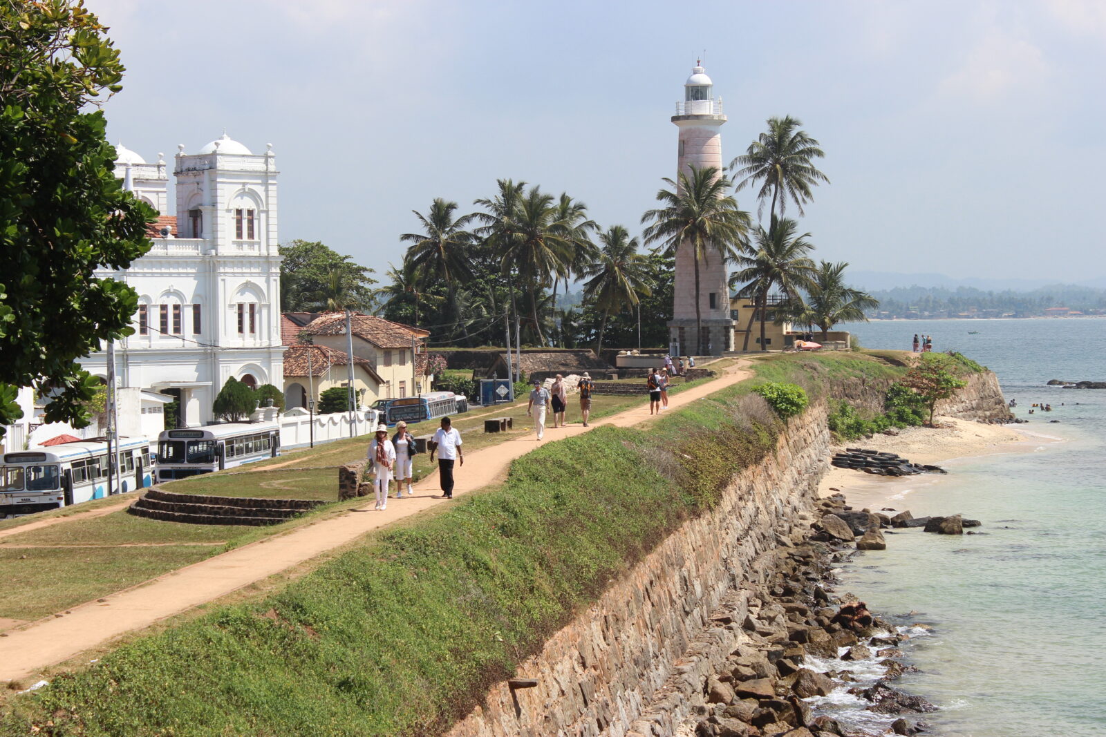
Galle Fort is a working neighbourhood inside 36 hectares of Dutch fortification, held by the Portuguese, the Dutch and the British in turn and now a UNESCO World Heritage Site. Inside are Moorish gem merchants, Dutch colonial villas, a 1939 lighthouse, a mosque built like a church and streets narrow enough to walk end to end in twenty minutes. Come late afternoon: the ramparts catch the light, the cricket ground fills up, and the fort empties of day-trippers.
Top attractions
What to see
- Galle Fort ramparts and the lighthouse
- Dutch Reformed Church, 1755
- Maritime Archaeology Museum
- Meeran Jumma Masjid
- Galle International Cricket Stadium
- Unawatuna and Jungle Beach nearby
Things to do
How we would spend a day here
- Walk the full rampart circuit at sunset
- Browse the gem and antique shops on Pedlar Street
- Watch cricket from the fort wall, free of charge
- Take a Sri Lankan cooking class inside the fort
- Day trip to Handunugoda tea estate for virgin white tea
Best time to visit
December to April for dry weather. The fort is atmospheric in monsoon rain too, and hotels drop 40% in price.
Nearby
- Unawatuna, 15 minutes
- Mirissa, 40 minutes
- Bentota, 1 hour
- Colombo, 2 hours by expressway
Gallery

FAQ
Galle — your questions
How long do we need in Galle Fort?
Two hours covers the ramparts and main streets. A night inside the walls is better, the fort changes completely once the coaches leave at 5pm.
Can we swim near Galle?
Unawatuna, fifteen minutes east, is the closest safe swimming bay. Jungle Beach beyond it is quieter and good for snorkelling.
Is it walkable?
Entirely. The fort is flat, compact and closed to heavy traffic. Wear something for hot cobbles.