Overview
Kandy in one paragraph
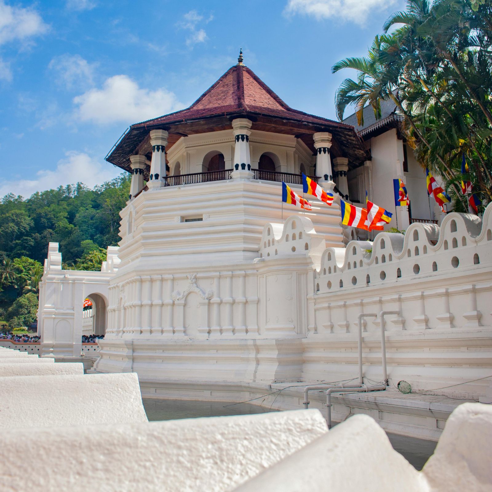
Kandy held out against the Portuguese and Dutch for three centuries and only fell to the British in 1815. That isolation preserved a distinct culture: its own architecture, its own dance, its own drumming, and the Temple of the Sacred Tooth Relic, which still governs the ceremonial calendar of the island. The city itself is compact, humid and busy. Stay on the hillside above the lake and come down for the evening puja at 6:30pm, when the drummers start and the inner chamber opens.
Top attractions
What to see
- Temple of the Sacred Tooth Relic (Sri Dalada Maligawa)
- Kandy Lake and the Royal Palace complex
- Royal Botanical Gardens, Peradeniya
- Bahirawakanda Buddha statue viewpoint
- Kandyan cultural dance and fire-walking show
- Udawattakele Forest Reserve behind the temple
Things to do
How we would spend a day here
- Attend the evening puja at the Temple of the Tooth
- Walk the lake loop at dawn with the monitor lizards
- Visit a working batik or wood-carving workshop
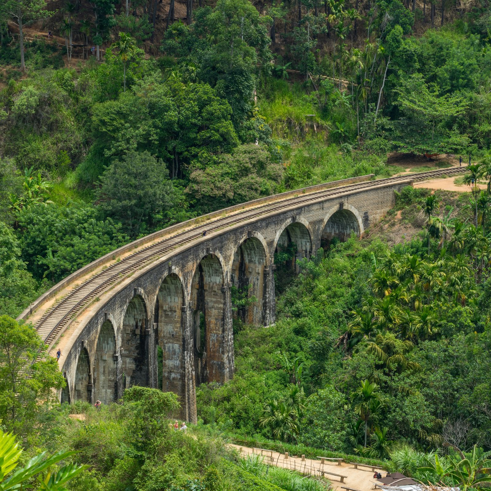
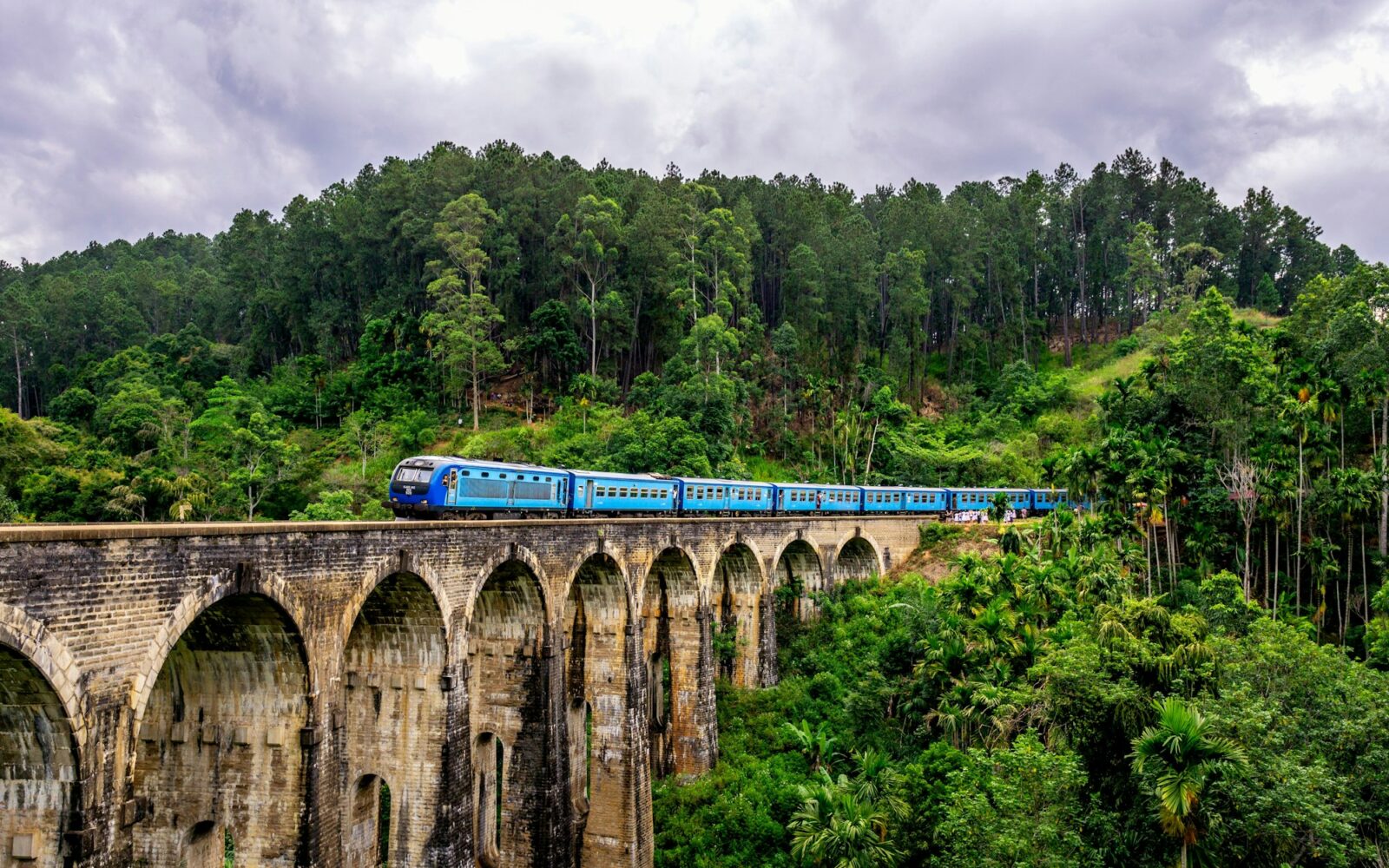
- Take the observation-class train onward to Ella
- Watch the Esala Perahera in July or August if your dates allow
Best time to visit
Year round. July and August for the Esala Perahera procession; December to April is driest.
Nearby
- Peradeniya Gardens, 20 minutes
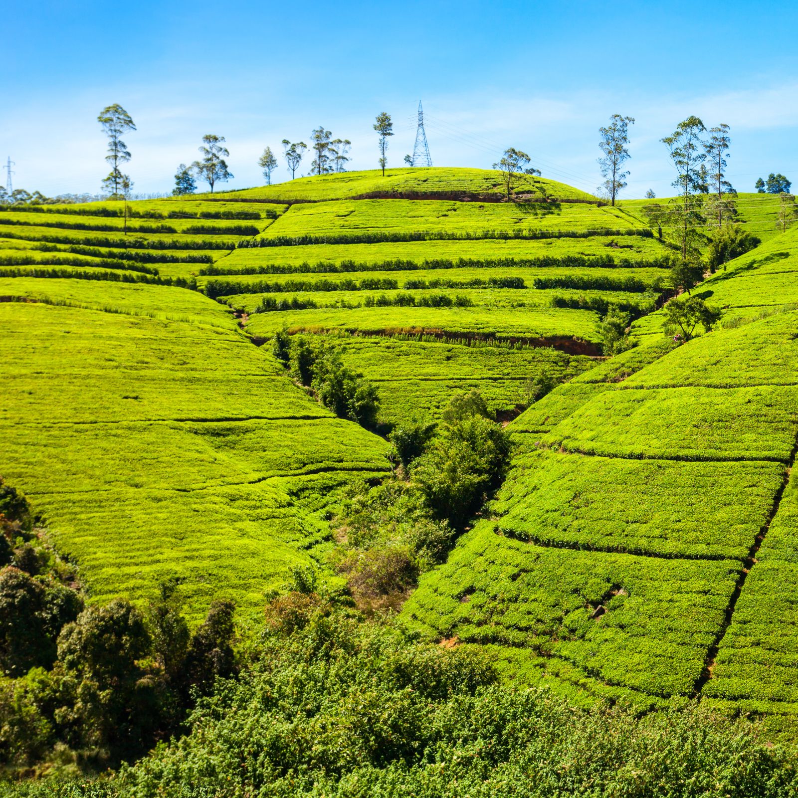
- Nuwara Eliya, 2 hours 30
- Dambulla, 2 hours
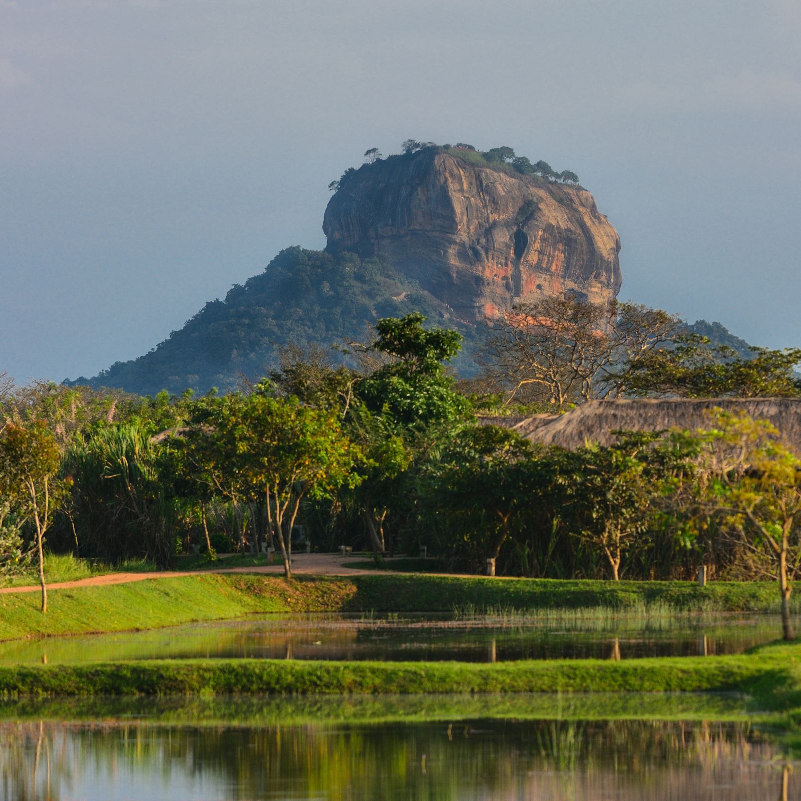
- Sigiriya, 2 hours 30
Gallery
FAQ
Kandy — your questions
What should we wear at the temple?
Shoulders and knees covered, footwear removed at the entrance. White is traditional but not required. Sarongs can be hired at the gate.
Is the cultural dance show worth it?
Yes if you have not seen Kandyan dance before, the drumming and the fire-walking finale are genuine traditions, though the setting is theatrical. It runs an hour and starts at 5pm, before the puja.
When is the Esala Perahera?
Ten nights ending on the Nikini full moon, usually late July or early August. Grandstand seats sell out months ahead; we book them for guests travelling in that window.