Overview
Nuwara Eliya in one paragraph
The British built Nuwara Eliya as a hill station in the 1840s and gave it a post office like an English village, a golf course, a boating lake and a season. What surrounds it is the reason to come: the highest-grown tea in the world, plucked on estates that still run bungalows for guests, and Horton Plains, a montane plateau that ends abruptly in a 900-metre drop known as World’s End.
Top attractions
What to see
- Horton Plains National Park and World's End
- Pedro and Mackwoods tea estates and factories
- Gregory Lake and Victoria Park
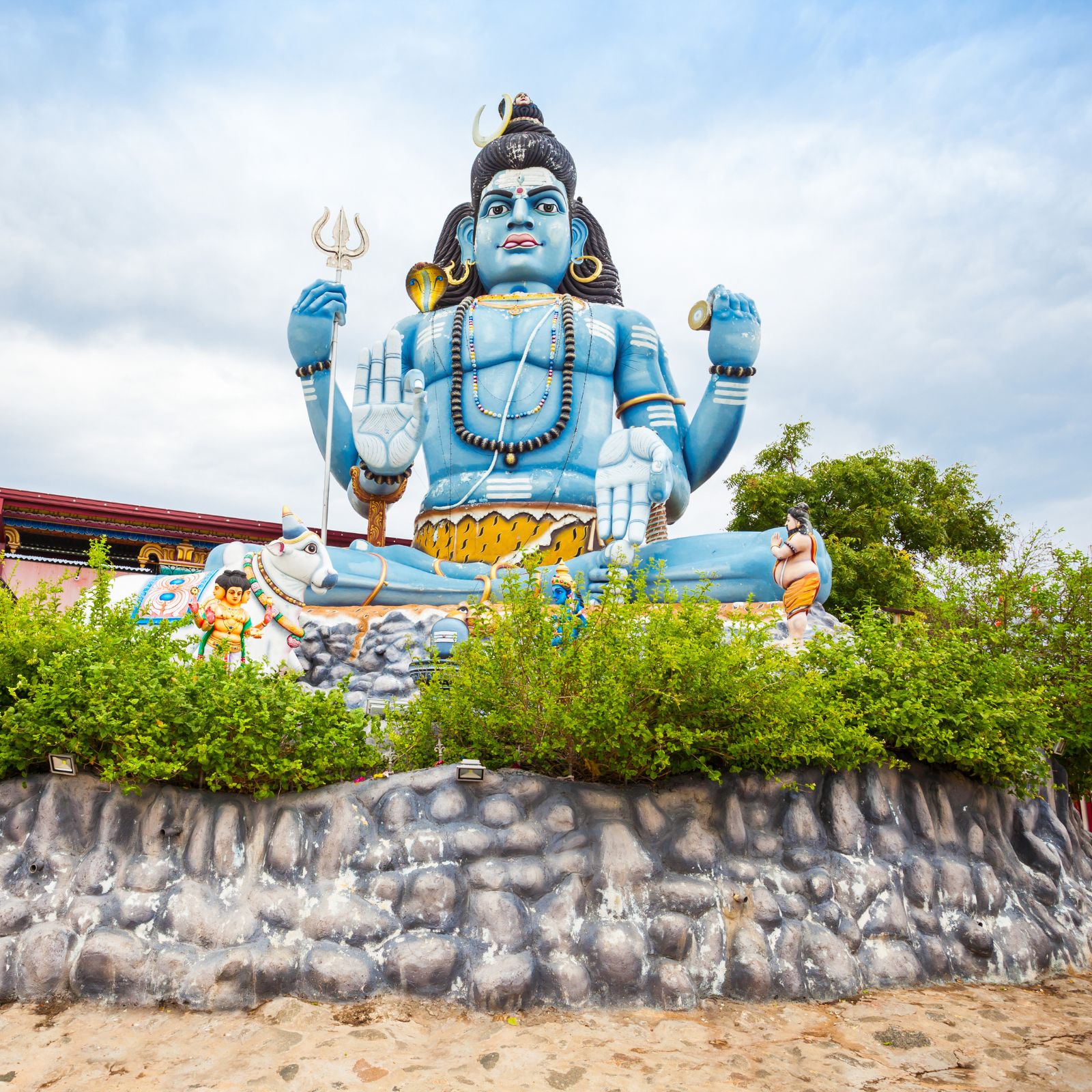
- Hakgala Botanical Gardens and Seetha Amman Temple
- Lover's Leap and Single Tree Hill walks
- Ramboda Falls on the road up
Things to do
How we would spend a day here
- Start Horton Plains at 6am, the view closes in by 9
- Tour a working tea factory and take a formal cupping
- Stay a night in a colonial planter's bungalow
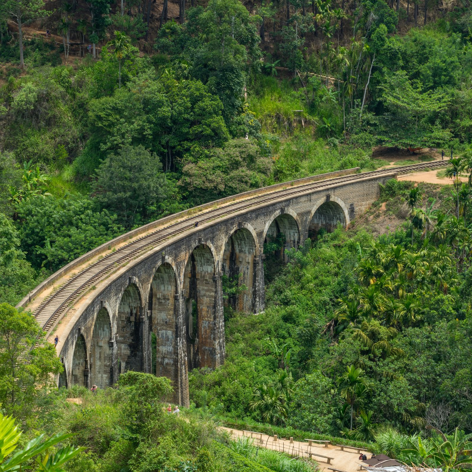
- Ride the train from Nanu Oya down to Ella
- Have afternoon tea at the Grand or Hill Club
Best time to visit
January to April is clearest and coldest. April is the festive season when Colombo comes up for the races.
Nearby
- Ella, 2 hours
- Kandy, 2 hours 30
- Horton Plains, 1 hour
- Adam's Peak, 2 hours 30
Gallery
FAQ
Nuwara Eliya — your questions
How cold does it get?
Nights fall to 8 to 12C, occasionally lower in January. Bring a fleece and something waterproof; most hotels have heaters or fires but few have central heating.
Is Horton Plains worth the early start?
Yes. World’s End clouds over between 9 and 10am on most days. The full loop is 9km on good paths and takes about three hours.
Which tea factory should we visit?
Pedro Estate is closest and gives a proper working tour. Mackwoods has the better view. For a serious cupping we arrange Damro Labookellie or a private estate visit.